The Yorkshire counties are home to some of the UK’s most breathtaking natural scenery, with windswept moors, peaceful woodland and majestic waterfalls to discover, as well as three wonderful National Parks. If you’d like to explore this beautiful area on foot, here are ten of Yorkshire’s best walking trails.
Ogden Reservoir
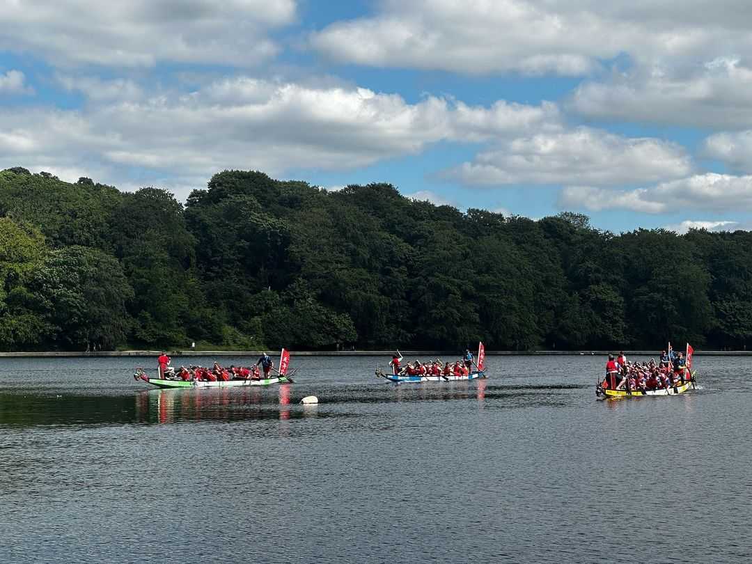
The circular trail around Ogden Reservoir isn’t just one of West Yorkshire’s most scenic walking routes – it’s also one of its most accessible. This easy walk follows a wide, well-surfaced and relatively flat path, which can be enjoyed by wheelchair users and those with pushchairs. Walkers here will be treated to incredible views as they follow the water’s edge, taking in soothing natural sights such as the babbling brook that meanders through Ogden Clough ravine. The full 1.2-mile route takes around an hour to walk and starts at the reservoir’s Visitor Centre, where you’ll find parking, toilets and a shop selling drinks, snacks and ice creams to enjoy during the warmer months. More experienced hikers can also extend their adventure here with a four mile detour up to the wind farm on Knoll Hill, passing through the picturesque woodland of the Ogden Plantation and crossing the rugged wilds of Ovenden Moor.
The Ingleton Waterfalls Trail
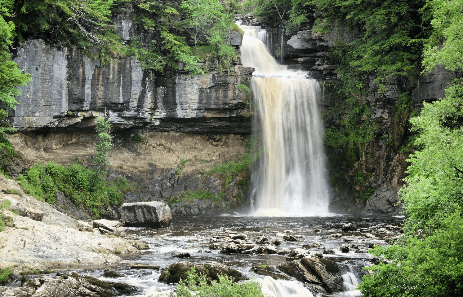
The Yorkshire Dales are home to many spectacular waterfalls and one of the most impressive is Thornton Force, which can be found just outside the village of Ingleton. To reach these majestic falls, you can follow the Ingleton Waterfalls trail – a 4.3-mile route that takes between two and four hours to walk. The trail starts in Broadwood car park, where you’ll find a ticket office. As the falls are on private land, you’ll need to pay to walk here with a charge of £8 for adults and £4 for under 16s. The route begins in Swilla Glen, a leafy gorge where you can see the famous money tree, which has had hundreds of coins hammered into it by passers by for good luck. The path then leads on to Pecca Falls, Hollybush Spout and Thornton Force, where the River Twiss flows over a 46ft limestone cliff, splashing into a rocky pool below. On its return, the trail passes Beezley Farm, where you can grab a bite to eat at the cafe. It then winds its way along the banks of the River Doe, revealing two more of the Dales’ stunning landmarks – Snow Falls and the Baxenghyll Gorge. Although the Ingleton Waterfalls trail is short, the route is strenuous with lots of steps and so walkers here are required to be relatively agile.
The Pennine Way
Spanning 268 miles, this long-distance walking route traces the backbone of England from Derbyshire to the Scottish border. Walking the entire Pennine Way takes around 16-19 days, however, the route can also be broken down into shorter sections that can be completed in just a few hours. The Pennine Way’s ‘official’ starting point is the car park of the Old Nag’s Head pub in the Peak District village of Edale. The trail then travels up the country, passing through vast swathes of glorious open moorland and the lush fields of Swaledale Valley before reaching Hadrian’s Wall and the Cheviots on its way to the Scottish village of Kirk Yetholm. For those who want to stay local, the Pennine Way’s Yorkshire sections offer many great locations to discover, including Pen-y-ghent Fell and the Tan Hill Inn – Britain’s highest pub which can be found on the moors of the North Yorkshire Dales.
Bronte Waterfalls Circular
If you’d like to explore the wild Yorkshire landscape that inspired the Brontë sisters, this 6-mile walk takes you right through the heart of it. The Brontë Waterfalls Circular begins on Cemetery Road, just outside the village of Haworth where the famous sisters grew up. The well-marked path then passes through verdant countryside and over the heathered moors before reaching the Brontë Bridge and Waterfall – a peaceful beauty spot that’s a perfect place to eat a picnic. The route’s return offers a detour up to Top Withens – the atmospheric deserted farmhouse that is thought to have provided the setting for Emily Brontë’s Wuthering Heights. You’ll also pass through the village of Stanbury, where you can enjoy a pint at the Wuthering Heights pub.
The Wainstones Walk
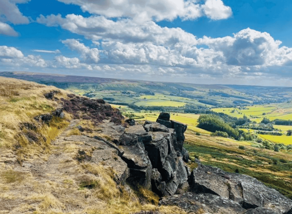
The sandstone crags known as the Wainstones are one of the North York Moors’ most dramatic natural landmarks. These magnificent rocks have long been popular with rock climbers and are also a point of historical interest due to the bronze age carvings that appear on some of them. After centuries of being exposed to the elements, the fissures between these ancient stones now make a mournful wailing sound on windy days. This befits their name, which may come from the Saxon word ‘wanian’, meaning to lament. The Wainstones jut out from the side of Cringle Moor on the northwestern edge of the Cleveland Hills and can be admired when walking the circular trail known as the Wainstones Walk. This 8-mile route takes around five and a half hours to complete and starts in the car park of Chop Gate Village Hall. From here, it travels north over Cold Moor and up Hasty Bank, from which you’ll enjoy a wonderful view over the surrounding hills and moorland. The walk then tracks part of the Cleveland Way National Trail before passing Urra Moor – the highest point on the North York Moors – on its return. As the journey up to this rocky outcrop involves a short scramble, the Wainstones Walk is somewhat challenging and is perhaps better suited to more adventurous walkers.
Leeds Country Way
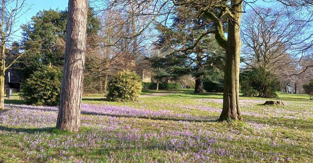
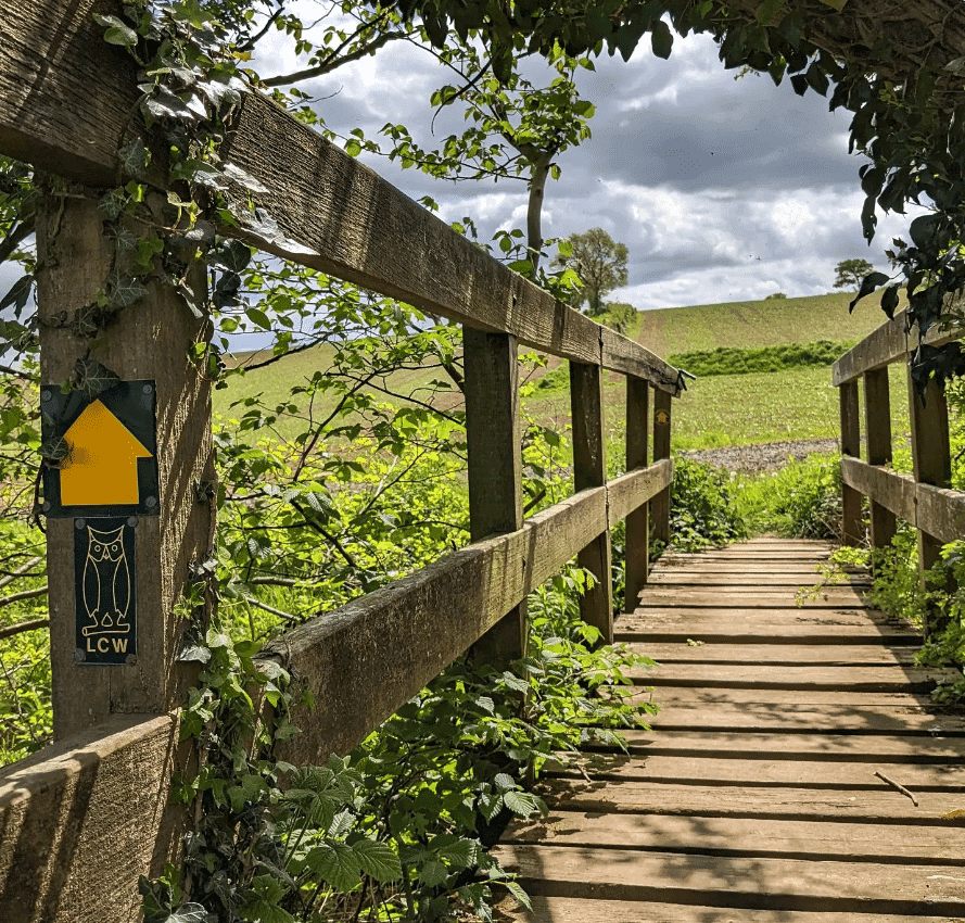
This 62-mile footpath draws a ring around Leeds and provides walkers with a chance to visit some of the pretty villages and green spaces that lie just outside of the city. The Leeds Country Way starts and ends in Golden Acre Park, where you’ll find a wildflower meadow and an arboretum. It then passes through the tranquil Adel Dam Nature Reserve and the farmland of the Harewood estate before following the disused Garforth-Kippax railway line that’s now known as ‘the linesway’. The walk is split into four 15-mile stages that can be broken down further into 5-mile segments, offering an easy and enjoyable half day walk. You’ll learn more about the history of Leeds as you pass through some of its rural surroundings, including Birkby Brow Wood and Horsforth Hall Park. You’ll even be able to glimpse the Emmerdale set from a distance.
Hardcastle Crags
This unspoilt Pennine valley near Hebden Bridge boasts more than 400 acres of woodland, which is encircled by 15 miles of footpaths. Hardcastle Crags is managed by the National Trust and its 19th century Gibson Mill is one of their flagship sustainable places. All of the energy used by the mill is generated onsite and its water supply comes from the valley’s own springs. The mill has its own cafe that serves hot and cold drinks, freshly made lunches and ice creams with proceeds going towards the upkeep of the estate. The valley’s varied terrain offers a pleasant excursion for walkers of all abilities but those who take on the challenge of scrambling up the steep crags here will be treated to a breathtaking view over the West Yorkshire landscape below.
Ilkley Moor
Situated between Ilkley and Keighley, Ilkley Moor is well known for the folk song that was written about it in the 1800s – a tune that’s since become an anthem for Yorkshire itself. The moor is also a great place to get out into nature. One of the most popular walks to take here is the ‘Cow and Calf’ Circular, a 3.2-mile route that starts and ends at the Cow and Calf pub off Hangingstone Road. This moderately challenging walk takes around an hour and a half to complete and travels west from the pub towards Rocky Valley, where the route’s loop begins. It then passes Cranshaw Thorne Hill and crosses Backstone Beck before circling round past the woodland that lies at the edge of Lanshaw Dam. Ilkley Moor is teeming with wildlife and, if you’re lucky, you might be able to spot a red grouse, golden plover, lapwing or even a short eared owl here. This walking route will also take you past some of the moor’s Neolithic-Bronze Age ‘cup and ring’ stones.
Todmorden & Stoodley Pike
One of the Calder Valley’s most striking landmarks, the stone monument that stands atop Stoodley Pike marks one of the highest points on the South Pennines. This 120-foot obelisk has its own viewing platform that can be accessed via a spiral staircase inside. Visitors are advised to bring a torch as the steps are dimly lit but those who venture up them can admire a panoramic view of the valley below. You can visit Stoodley Pike on a 7-mile circular walk that starts and ends in the market town of Todmorden. The route departs from a car park near to the Golden Lion Inn and follows the Calderdale Way, passing the quaint mill village of Lumbutts and Heeley Dam Reservoir before arriving at Withens Gate, where the trail joins the Pennine Way. From here, you can travel up to the Pike itself. On your return, you’ll follow the banks of the Rochdale Canal through Shaw Wood as you head back to Todmorden.
Otley Chevin & the Surprise View Circular
‘The Chevin’ runs to the south of Wharfedale, offering unbeatable views over the West Yorkshire countryside and the town of Otley. A Roman Road once ran along this ridge and a walk here reveals many features of historical interest, from the Knotties Stone – a Bronze Age carved rock – to the foundations of the old farmhouse known as Jenny’s Cottage. One of the ridge’s highest points is Surprise View, which stands at 282m above sea level. This lofty vantage point has its own car park, so you can take in its wonderful sights without walking. If you do fancy a stroll though, you can follow a 2.7-mile circular route that starts and ends here. This walk takes up to two hours and sets off in an easterly direction, travelling up to East Chevin quarry. It then heads on to the Chevin’s Forest Park before circling back around past Jenny’s Cottage, which once served much-needed refreshments to the ridge’s visitors. Nowadays the cottage’s foundations are all that’s left but if you’re in need of a drink after your walk you can call into The Royalty – a traditional, independent pub on the nearby York Gate.
Images: Ingletonwaterfallstrail.co.uk @elajoannax @leedscountryway

