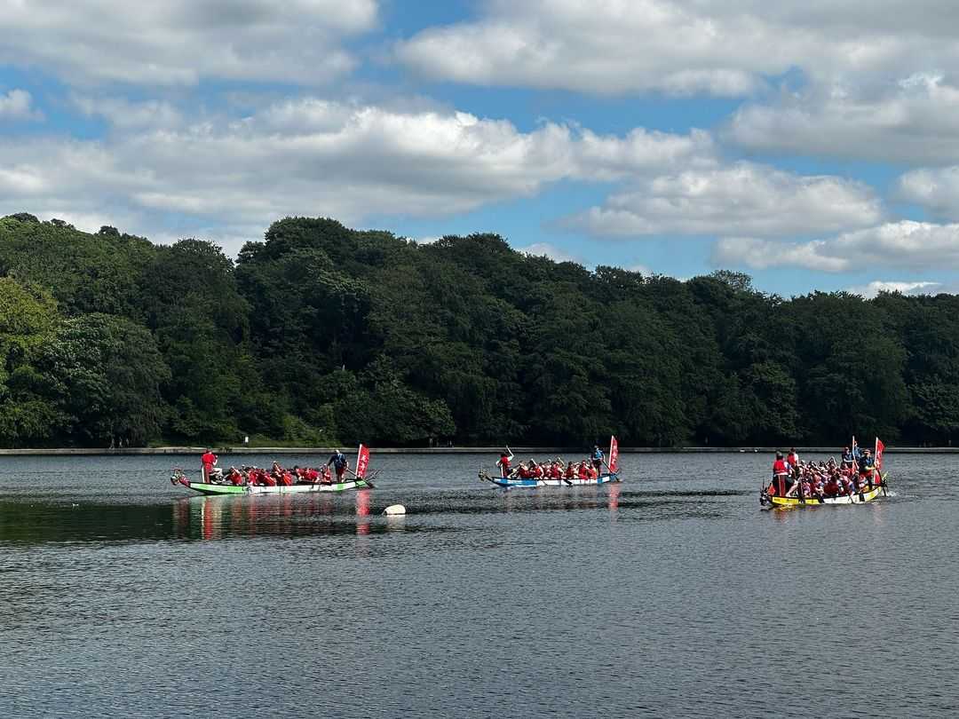
Despite its rich industrial heritage, West Yorkshire is also home to vast swathes of open countryside, with scenic villages nestled between the sweeping valleys and rugged landscapes. The scenery has proved so inspiring that its influenced the works of many literary generations, including the famous Brontë sisters, as well as local children’s author and poet Ted Hughes.
While the world around us has changed dramatically since the Brontë’s were around, the dramatic peaks and vales of West Yorkshire remain largely unchanged. It’s easy to forget how lucky we are to be surrounded by so many open spaces, but heading out into the countryside is the perfect way to escape the business of city life.
To help you plan a trip out into the scenic surroundings of West Yorkshire, we’ve created a guide to some of our favourite walking trails and hikes through the local countryside. From the moortop landscapes of Brontë country to the rocky outcrops of the Cow and Calf, there are plenty of incredible trails just waiting to be explored on foot. So what are you waiting for? It’s time to grab your boots and head for the hills!
Haworth Brontë Walk
The cobbled streets of Haworth may not seem like your typical travel destination, but every year this historic village attracts visitors from all over the world. Once home to the famous Brontë family, this charming country settlement is surrounded by the fascinating countryside that inspired many of the sisters’ novels.
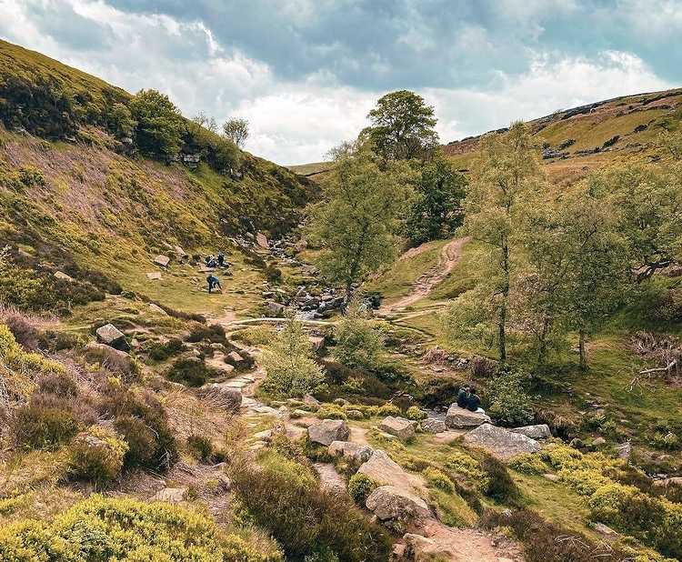
The 3-hour Haworth Brontë Walk sets off from the Brontë Parsonage Museum in the village, before heading off into the moorland of Penistone Country Park. As the path winds its way up the hills, the views become increasingly impressive, before the trail finally reaches the Brontë Falls, a popular spot amongst the Brontë family during their time here. After reaching the top, head back down via Lower Laithe Reservoir to drink in even more amazing views, before finally arriving back in the village.
Ilkley Moor and the Cow and Calf
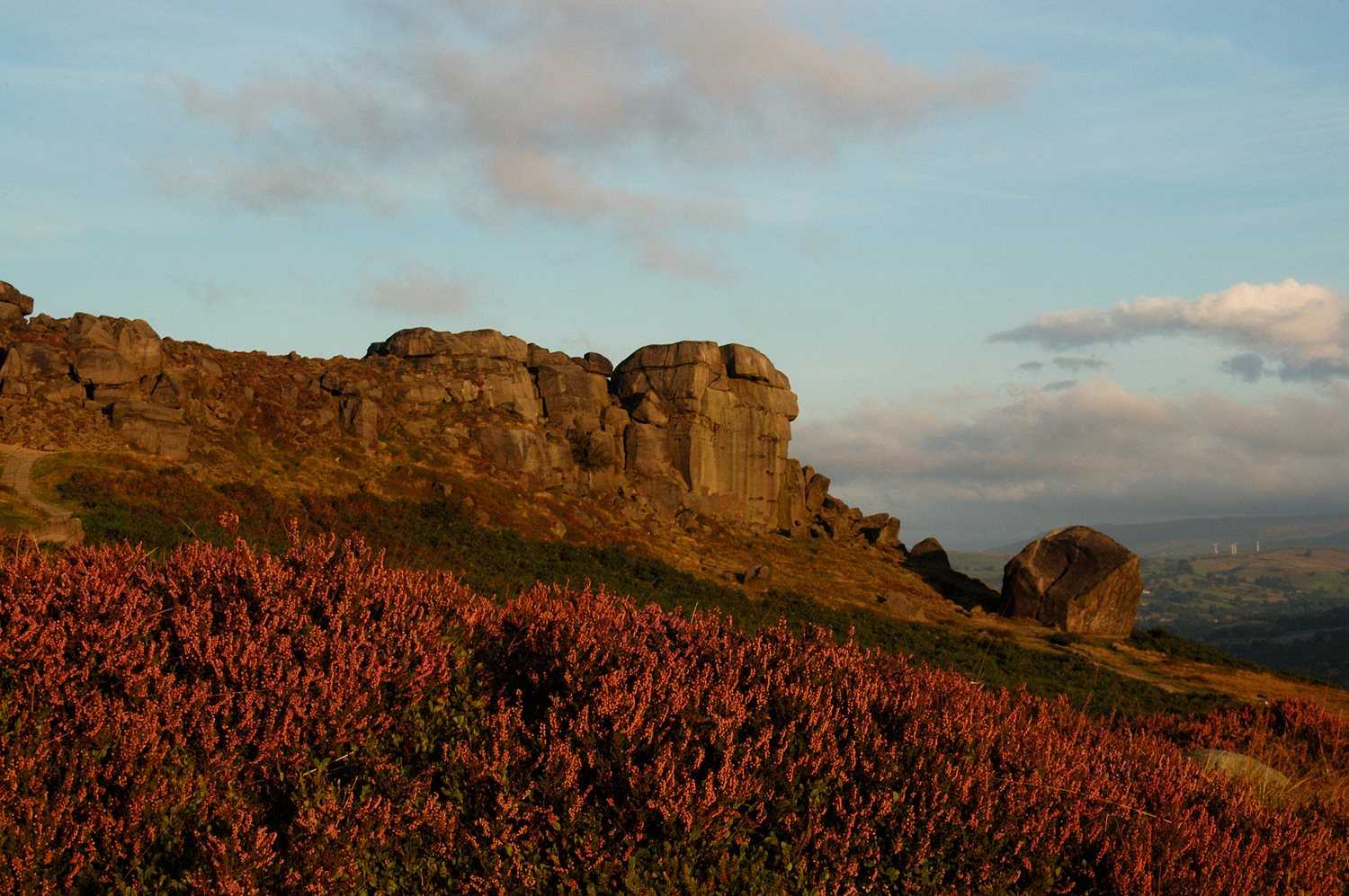
As summer approaches, the top of Burley Moor near Ilkley comes into bloom, with shrouds of purple heather blanketing the hilltops. This walk takes in this vibrant landscape alongside the rugged scenery of the Cow and Calf, a large rock formation made up of an outcrop and a giant boulder. Legend has it that the Calf was split from the Cow after Rombald the Giant stamped on the rock while leaping across the nearby valley, all while running away from his angry wife. Nowadays, there’s no sign of any giants around, but the rocks make a great place for climbing and exploring, all while offering fantastic views for miles around.
Walking around the Cow and Calf is a great day out, and the circular walk takes between three and four hours in total. Starting off at Darwin Gardens on the outskirts of Ilkley, the walk climbs
up to the moor top, taking you past a tranquil lake known as The Tarn, before eventually reaching the Cow and Calf rocks. The walk continues on along the moor, taking in the incredible views, before arriving at The Twelve Apostles stone circle, another historical landmark hidden amongst the heather, and finally taking you back down into Ilkley.
Otley Chevin
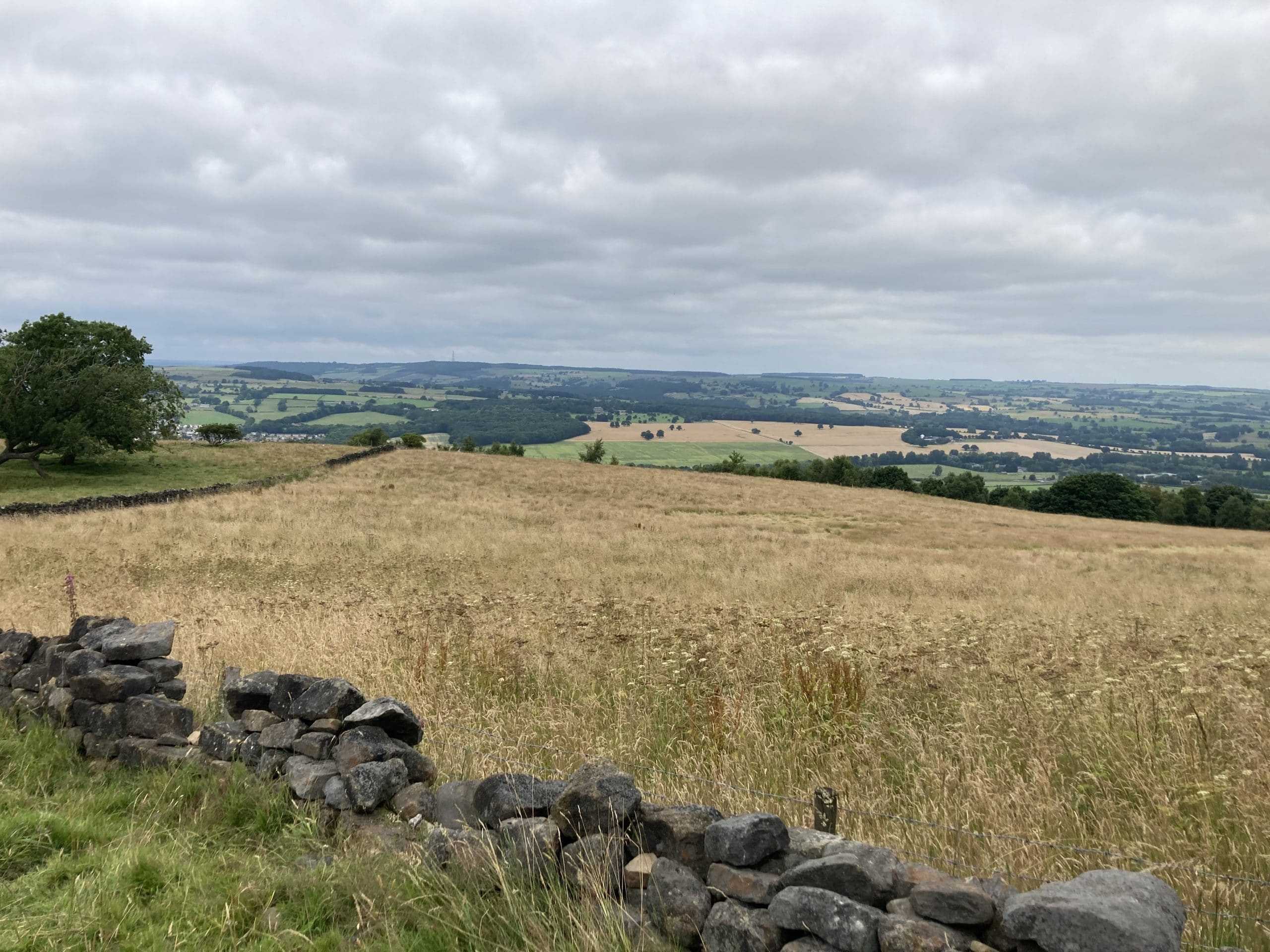
Sitting above the thriving streets of the thriving market town, Otley Chevin is an impressive ridge that was preciously topped by a Roman road that would lead all the way to York. The Chevin is covered in attractive woodland and heathland, while rocky outcrops are peppered along the upper slopes of the ridge.
The walks along Otley Chevin make for an easy escape from the nearby town, with routes designed for all ages and abilities. For a short circular walk taking just over an hour, set off from Surprise View and turn right, enjoying the views out over Otley, before eventually descending down into the woodland. Head through the woods in the opposite direction for a round mile, and then climb back up the ridge towards Woodland Farm. Simply head back along the Chevin’s top, admiring the craggy rocks left behind from the old Yorkshire quarry, before finding yourself back where you started.
Hebden Bridge, Stoodley Pike and Rochdale Canal
The market town of Hebden Bridge is famous for more than its beautiful surroundings, with a vibrant cultural heritage and independent spirit, there’s no surprise it’s previously been named as the “fourth-funkiest town in the world”. With such a strong reputation, there’s no doubt that Hebden Bridge makes a great day out, but there’s more to explore than just the local culture.
This walk starts off amongst the bustling streets of Hebden Bridge, heading onto the Rochdale Canal towpaths that run through the town centre. After reaching Hebble End, the path leads up to the hilltops where you’ll find the remarkable Stoodley Pike monument, standing at 100ft tall, it commemorates the defeat of Napoleon’s armies at the Battle of Leipzig in 1813. After admiring the monument, the walk leads back down into the valley, through the quaint village of Lumbutts, before once again reaching the Rochdale Canal. Follow the towpaths back into the town and treat yourself to a quick refreshment at one of the many cafés and pubs in town.
Shipley, Bingley, Harden Moor, Cottingley and Saltaire
This 22km walk may be long, but it takes in a myriad of different sights centred around Shipley and its nearby villages, including the industrial heritage of the Salts Mill and the rural charm of Harden Moor. Saltaire is famous for its Victorian model village, a cultural landmark that has been recognised as a UNESCO World Heritage Site since 2001, and it’s well worth exploring as part of this trail.
Starting out from Shipley, the route takes you along the Leeds & Liverpool Canal, lined by the historical architecture of Saltaire, including the famous Salts Mill. This huge building was once used as a textile mill, but now plays host to an art gallery, shopping centre, and restaurant complex, serving as a vibrant cultural centre for the local community. Following the canal, the walk eventually reaches the famous Five Rise Locks in Bingley, some of the steepest staircase locks in the country.
After leaving the canal, the route heads up through Bingley village to climb towards Druid’s Altar and Harden Moor. The rocky outcrops along this section of the walk provide great views across the valley, while the section leading through Cottingley Wood takes you through charming woodland as you follow the River Aire back into Saltaire village.
Holme, Digley Reservoir, Black Hill, Holme Moss and Ramsden Clough
Taking in multiple different reservoirs, lakes, hills and valleys, this watershed walk takes around five to six hours to complete and explores a wide area of countryside near the small rural village of Holme. Including sections of the Kirklees Way, Pennines Way, and Holme Valley Circular Walk, this route leads you on a 12-mile circuit through moorland and dales, including some great views along the way.
After leaving Holme village, the route first leads up to the neighbouring Bilberry and Digley reservoirs, popular among the locals in the summer months thanks to its incredible scenery and picnic opportunities. After leaving the reservoirs, the path climbs up to the Pennine Moors towards the Black Hill summit point, giving you unrivalled views of Holme Valley, before heading across to the 300-metre tall transmitting tower at Holme Moss, delivering radio coverage to regions across the North of England. The route then continues along the impressive circuit, following ridges and valleys before finally bringing you back down to the village again, hopefully feeling revived by the incredible surroundings.
Images: Bronte Waterfall @lbc_shoots_nw, Cow and Calf @Friends of Ilkley Moor, Otley Chevin

